Evacuation Routes
How can we find safe zones where our bodies meet public space? Can we use technology to create a collective impression of the space and time of a pandemic?
“Public space” has been in radical flux in response to Covid-19. New routines have emerged and continue to morph in encounters with strangers and in our relationship to the built environment, shaped in the crossfire of health science, cultural norms, and a powerful drive towards togetherness. Shelter-in-place orders, masks and physical distancing exacerbate social isolation, anxiety, and fear of public spaces. Meanwhile, summer 2020’s mass uprising declared that systemic violence against Black people is as much of a public health risk as the coronavirus.
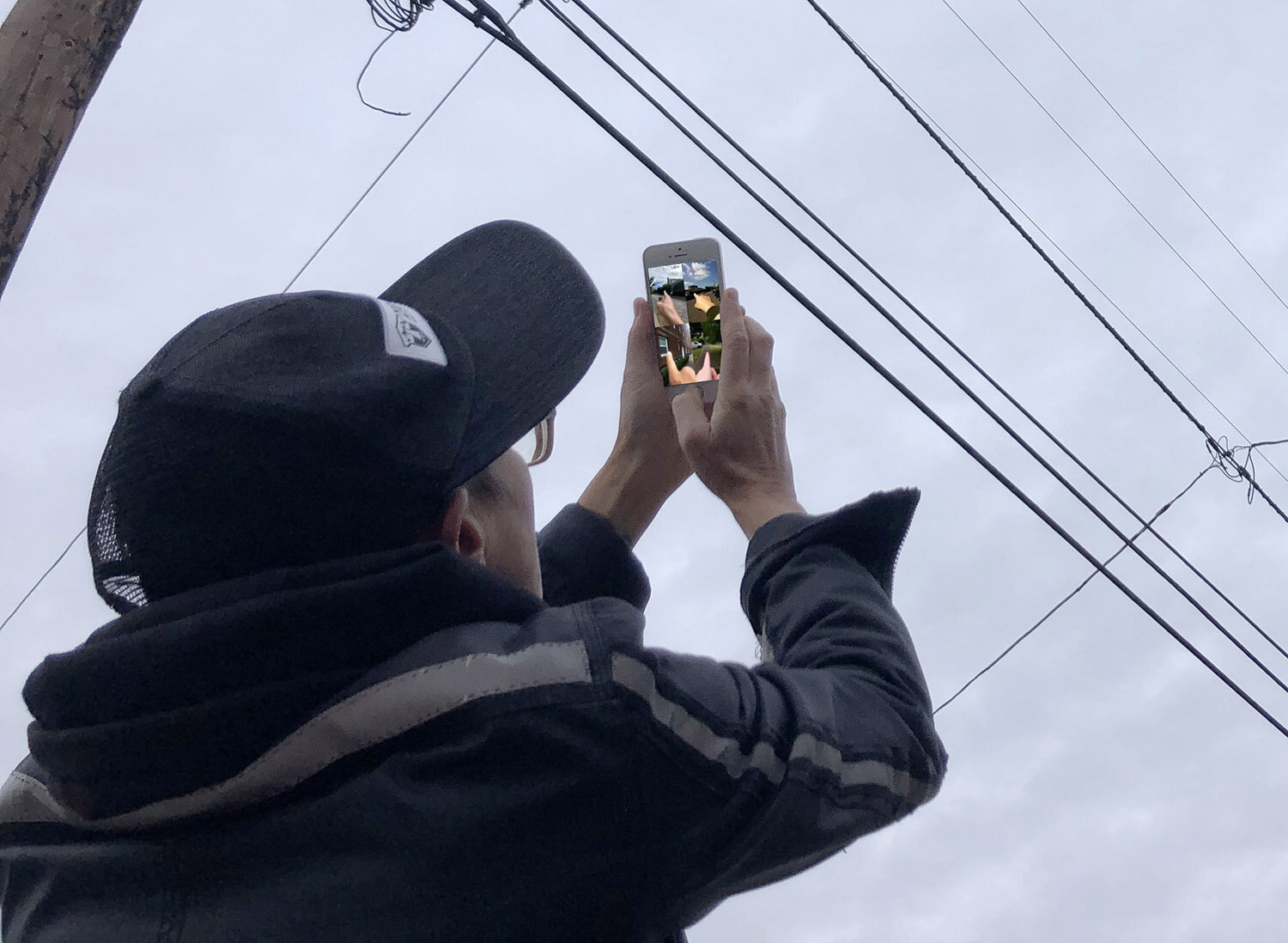
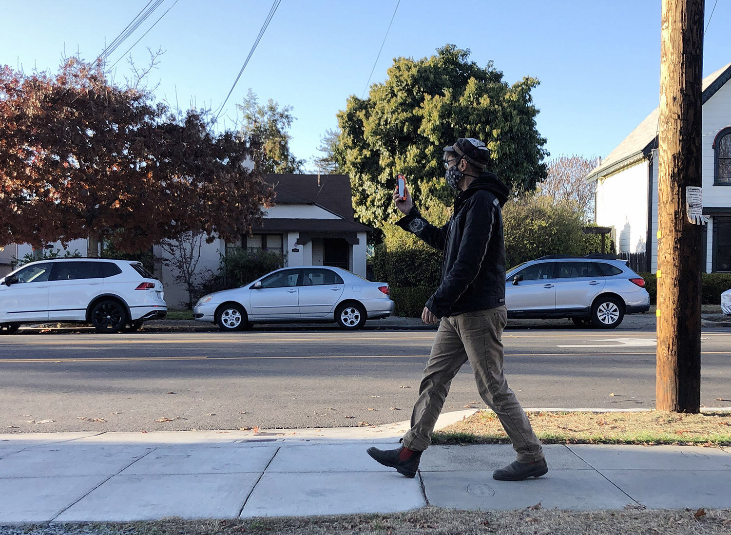
In this rapidly evolving context, I repurposed Zoom’s virtual meeting technology to produce a series of interactive guided walks I called Evacuation Routes: Exploring Public Space in a Pandemic. The walk takes dispersed participants on a live exploration of the internal and external landscapes of our own neighborhoods, exploring questions of safety, proximity, habit, longing, and perception. It incorporates elements from guided meditations, audio walks, and the OODA Loop, a military decision-making tool for uncertain and chaotic environments. Basically, you closely Observe local conditions; then you Orient by interpreting what you’ve observed; then you Decide on your next action; then you Act; then you Observe again.
I document the walks by simply recording the Zoom call, finding unpredictable patterns and convergences among people dispersed across multiple geographies.
Below: Excerpts from the Zoom recording of Evacuation Routes with virtual participants as part of the 2020 Village Building Convergence in Portland OR. Sound design by Shawn Creeden, ground control by Artist Michael Bernard Stevenson Jr.
Below: leading a guided walk with participants in faraway places